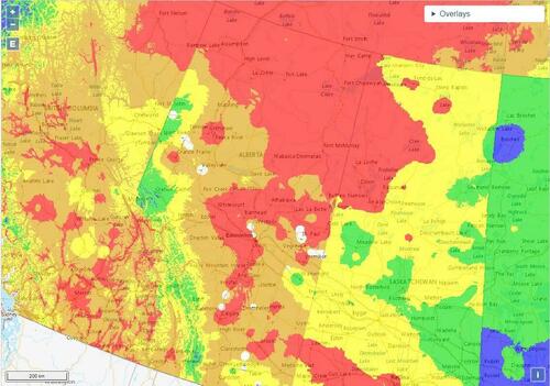
Alberta Fires Threaten 350,000 B/D Of Oil Production
Alberta’s oil patch faces a worsening wildfire threat heading into the new week as temperatures rise, according to Alberta Wildfire and Alberta Emergency Management.
The province’s northeast, where most of Canada’s crude oil is produced, is forecast to experience “extreme fire behavior” for next few days. With temperatures in the past few days rising as high as 35C (95F) – with low humidity and winds of 10km/h (6.2 miles/h) to 15km/h and no chance of rain – more than 1,000 Albertans have evacuated homes, including 89 residents of Chipewyan Lake, northwest of Fort McMurray as Alberta has some 144 wildfires burning, including 55 that are out of control.
According to Bloomberg, a total of 377 of the 887 wildfires that have ignited this year have started in July amid hot weather. 80% were caused by lightning.
The problem is that some 154 wildfires burning in the province, of which 58 are out of control on at least 10 hectares (25 acres) in size and within ~10km (6.2 miles) of 348k b/d of oil production and ~24k boe/d of gas output, according to Alberta Wildfire and Alberta Energy Regulator data.
Already some producers are halting output: Suncor curtailed production at its Firebag oil sands site and Greenfire temporarily curtailed output from its Hangingstone sites a week ago. while Cenovus, MEG and Imperial Oil have evacuated non-essential workers from oil sands facilities
Tourmaline said in email that the nearest fire is 4 miles from nearest well and 6 miles from nearest plant and has no effect operationally.
Below is the approximate oil, gas and condensate production, broken down by company, in equivalent of barrels of oil a day that’s within ~10km of at least one out-of-control wildfire that’s at least 10 hectares in size, based on AER geospacial data, May production data and Alberta Wildfire data
Tyler Durden
Sun, 07/21/2024 – 21:35

